
Principală
- Detalii
- Scris de: Joomla
- Categorie: Categorie (ro-ro)
- Accesări: 911
SERVICIILE NOASTRE
|
|
|
|
|
|
GEOLOGIE |
CARTOGRAFIE |
GEODEZIE |
CADASTRU |
|
|
|
|


|
|
|
|
|
|
SIG |
METROLOGIE |
FOTOGRAMMETRIE |
MOLDPOS |
|
|
|
|


GEODEZIA ȘI CADASTRUL
GEODEZIA - ȘTIINȚA DESPRE PĂMÂNT ȘI PARAMETRII SĂI. DACĂ SĂ DEFINIM CE ESTE GEODEZIA,VA FI CORECT SĂ SPUNEM CĂ ACEASTA ESTE DETERMINAREA AMPLASĂRII OBIECTELOR PE SUPRAFAȚA PĂMÂNTULUI, FORMEI ȘI DIMENSIUNILOR ACESTORA. ESTE O ȘTIINȚĂ DE ÎNALTĂPRECIZIE DESPRE MĂSURĂTORI ȘI AFIȘAREA TERITORIILOR ȘI ZONELOR APARTE PE HĂRȚI ȘI PLANURI. GEODEZIA INCLUDE DETERMINAREA COORDONATELOR ȘI ÎNĂLȚIMILOR PUNCTELOR DE PE SUPRAFAȚA PĂMÂNTULUI, PRECUM ȘI A OBIECTELOR ÎN SPAȚIU. ACESTE OBIECTE SUNT TERENURIȘI IMOBILE: CLĂDIRI, CONSTRUCȚII, OBIECTE LINIARE, LEGATE INSEPARABIL DE PĂMÂNT.PRINCIPALE:
FOLOSIND TEHNOLOGII MODERNE ÎN DOMENIUL GEODEZIEI, TOPOGRAFIEI ȘI CADASTRULUI, EXECUTĂM LUCRĂRI PE ÎNTREG TERITORIUL REPUBLICII MOLDOVA.
LUCRĂRILE SE EXECUTĂ ÎN CONFORMITATE CU ACTELE NORMATIVE ÎN VIGOARE.


GEOLOGIE
GEOLOGIA ESTE O TOTALITATE DE ȘTIINȚE DESPRE STRUCTURA PĂMÂNTULUI, ORIGINEA ȘIDEZVOLTAREA SA, BAZATE PE STUDIUL PROCESELOR GEOLOGICE, COMPOZIȚIA MATERIALELOR, STRUCTURA SCOARȚEI TERESTRE ȘI A LITOSFEREI PRIN TOATE METODELE DISPONIBILE ȘI CUIMPLICAREA DATELOR DIN ALTE ȘTIINȚE ȘI DISCIPLINE. PE SCURT, GEOLOGIA POATE FI DEFINITĂ CAȘTIINȚA DESPRE COMPOZIȚIA, STRUCTURA ȘI DEZVOLTAREA PĂMÂNTULUI ȘI STUDIULUI SUPRAFEȚEISALE.PRINCIPALE:
DORIȚI SĂ CONSTRUIȚI O CASĂ DE LOCUIT CU ORICARE NUMĂR DE NIVELE, CLĂDIRI ȘISTRUCTURI INDUSTRIALE, CARE SĂ VĂ ASIGURE SECURITATE MAXIMĂ ȘI GARANTEZE UNGRAD SEMNIFICATIV DE SIGURANȚĂ?
ATUNCI SUNTEȚI CLIENTUL NOSTRU!


CARTOGRAFIE ȘI FOTOGRAMETRIE
CARTOGRAFIA ESTE ȘTIINȚA CERCETĂRII, MODELĂRII ȘI AFIȘĂRII LOCALIZĂRII SPATIALE, COMBINAREA ȘI INTERRELAREA OBIECTELOR, FENOMENE NATURALE ȘI SOCIETATE. ÎNTR-O INTERPRETARE MAI LĂRGĂ, CARTOGRAFIA INCLUDE ACTIVITĂȚI DE TEHNOLOGIE ȘI DE PRODUCȚIE.
PRINCIPALE:
DEPARTAMENTUL ESTE ANGAJAT ÎN CREAREA DE DIAGRELE DIGITALE ȘI HÂRTIE DE DIFERITE SCĂRI ȘI SCOPURI.
UN CIC COMPLET DE LUCRU CU CAMERA ÎN DOMENIUL FOTOGRAMETRIEI DIGITALE ȘI ANALITICE.


SIG
WEB-SIG ESTE UN SISTEM GEOINFORMATIC ÎN REȚEAUA INTERNET/INTRANET AI CĂRUI UTILIZATORI POT VIZUALIZA, EDITA ȘI ANALIZA DATE SPAȚIALE FOLOSIND BROWSERE WEB OBIȘNUITE.PRINCIPALE:
PRINCIPALELE AVANTAJE ALE UTILIZĂRII WEB-SIG ÎN COMPARAȚIE CU PROGRAMELE SIG PENTRU DESKTOP ȘI MOBIL SUNT:
CREȘTEREA ACCESIBILITĂȚII DATELOR SPAȚIALE
REDUCEREA COSTURILOR PENTRU ACHIZIȚIONAREA DE APLICAȚII SIG DESKTOP.
CENTRALIZAREA STOCĂRII, PRELUCRĂRII ȘI A ACCESULUI LA DATE.


MOLDPOS
MOLDPOS ESTE SISTEMUL NAȚIONAL DE POZIȚIONAREA FORMAT DIN REȚEAUA DE STAȚII GNSS PERMANENTE. SISTEMUL FUNCȚIONEAZĂ ÎN REGIM 24/7 PE ÎNTREG TERITORIUL REPUBLICII MOLDOVA ȘI TRANSMITE CORECȚII DE POZIȚIONARE ÎN TIMP REAL (RTK), DAR PERMITE ȘI DESCĂRCAREA OBSERVAȚIILOR STATICE PENTRU POSTPROCESARE. MOLDPOS OPEREAZĂ PE CEL MAI MODERN ECHIPAMENT ȘI SOFTWARE DE LA FIRMA LEICA GEOSYSTEMS. REȚEAUA ASIGURĂ ACCESIBILITATEA, SIMPLITATEA OBȚINERII ȘI FIABILITATEA DATELOR, A CĂROR CALITATE CORESPUNDE CELOR MAI STRICTE STANDARDE INTERNAȚIONALE.
PRINCIPALE:
MOLDPOS ESTE O REȚEA DESCHISĂ: ORICE DEȚINĂTOR AL UNUI RECEPTOR GPS NE POATE ACCESA. TOATE CORECȚIILE SUNT TRANSMISE PRIN PROTOCOL INTERNET NTRIP ȘI TCP/IP. ASTFEL, NU CONTEAZĂ AL CĂRUI PRODUCĂTOR ESTE RECEPTORUL DVS., ACESTA VA PUTEA PRIMI CORECȚIILE DE LA REȚEA.
UNDE SE FOLOSEȘTE MOLDPOS?
METROLOGIE
METROLOGIA ESTE ȘTIINȚA MĂSURĂTORILOR, METODELOR ȘI MIJLOACELOR DE ASIGURARE A UNITĂȚIILOR ȘI MODALITĂȚILOR DE OBȚINERE A PRECIZIEI NECESARE. OBIECTUL METROLOGIEI ESTE EXTRAGEREA INFORMAȚIILOR CANTITATIVE DESPRE PROPRIETĂȚILE OBIECTELOR CU PRECIZIA ȘICREDIBILITATEA DATĂ; BAZA NORMATIVĂ PENTRU ACESTEA SUNT STANDARDELE METROLOGICE.
PRINCIPALE:
ÎNTREPRINDEREA EFECTUEAZĂ VERIFICAREA METROLOGICĂ ȘI REPARAȚIA MIJLOACELOR DE MĂSURĂTORI GEODEZICE
VREȚI SĂ VERIFICAȚI ECHIPAMENTUL?
Descarcă Tarife
Acte normative
Pentru detalii: 022 470 791
Olga Miron - Șefa laborator metrologic
- Detalii
- Scris de: erosca
- Categorie: Categorie (ro-ro)
- Accesări: 4079
CONDUCERE
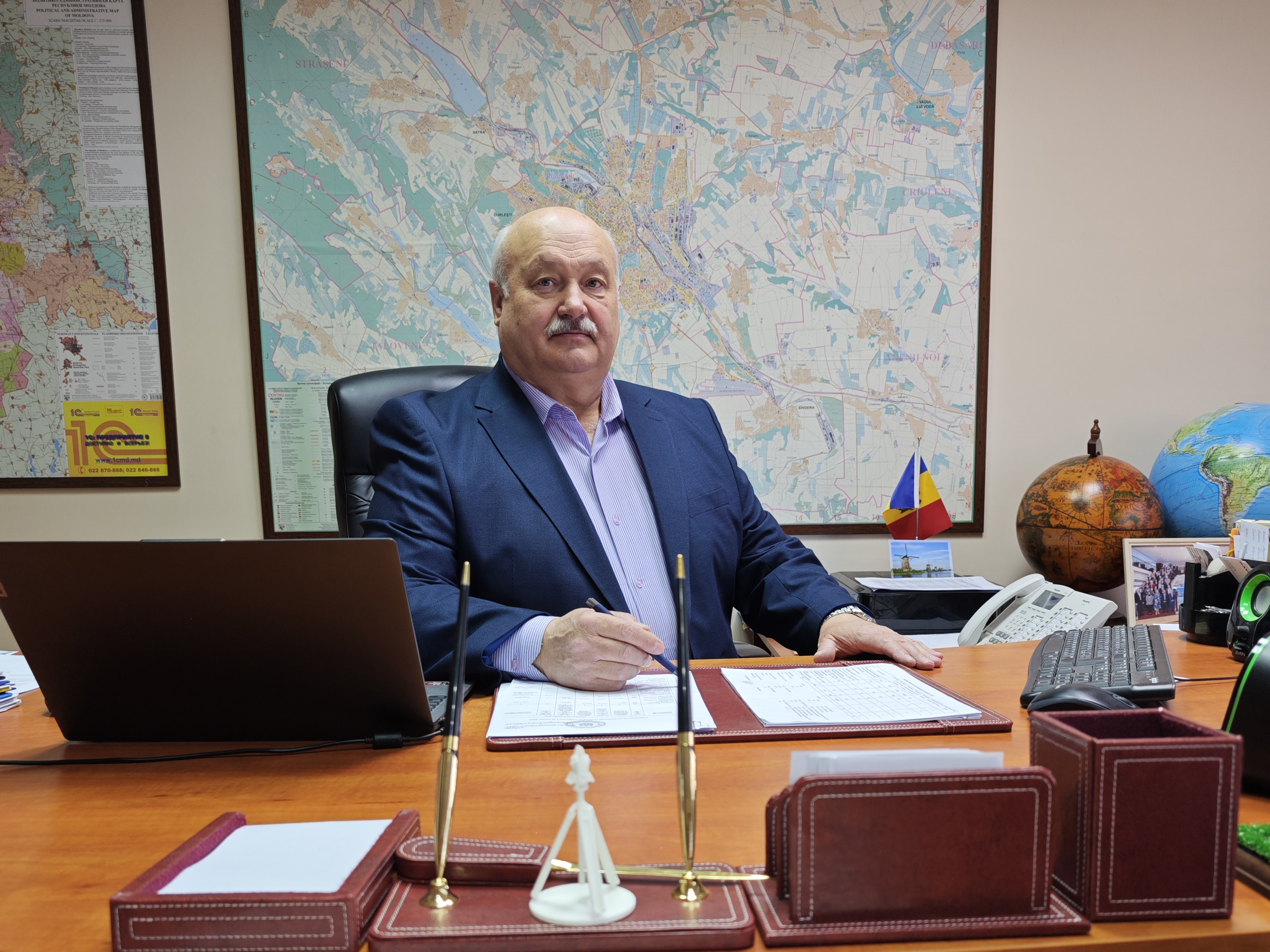
Administratorul interimar Î.S. INGEOCAD
Ursu Victor